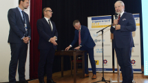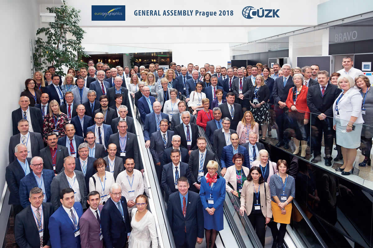
Ve dnech 8. až 10. října 2018 se v Praze sešli zástupci mezinárodní organizace EuroGeographics, která sdružuje evropské národní mapovací, pozemkové a katastrální instituce. Hostitelem valného shromáždění byl Český úřad zeměměřický a katastrální.
Účastníky přivítala Ingrid Vanden Berghe, prezidentka EuroGeographics, předseda ČÚZK Karel Večeře a náměstek ministra zemědělství Pavel Sekáč.
Jednotlivé přednáškové sekce byly věnovány e-governmentu a důvěře, garantovaným datům, a očekávání zákazníků.
E-government and trust
- Participation in Danish eGovernment – Kristian Møller, Director General, Agency for Data Supply and Efficiency, Denmark
- Authoritative SDI Implementations in Cyprus towards e-government, trust, and interoperability – Andreas Hadjiraftis, Chief Lands Officer, Department of Lands and Surveys, Ministry of Interior, Cyprus
- The Cadastre and blockchain technology – Angela Matcov Head of the Cadastre Department; Public Services Agency of the Republic of Moldova
Defining Authoritative Data
Lead and facilitated by:
- Prof. Joep Crompvoets, KU Leuven,
- Mick Cory, Executive Director and Secretary General
- Dominik Kopczewski, Policy Manager,
- Paul Kane, President, EuroSDR
- Dr. Stephan Grimmelikhuijsen, Assistant Professor, Utrecht School of Governance
- Rik Wouters, Land Registry Services Stakeholder Group
- Maxim Chantillon, Public Governance Institute, KU Leuven
- Stijn Wouters, Public Governance Institute, KU Leuven
The Geospatial Information Framework UN-GGIM and the World Bank – Europe’s contribution
- Presentation of the Geospatial Information Framework – Tomaz Petek, Chair of UN-GGIM: Europe
- The user experience – Kristaq Qirko, Director of Geodesy and Cartography Department, State Authority for Geospatial Information, Albania
- Next steps – Carol Agius, EuroGeographics Head Office
Meeting user requirements
- Earth Observation – Zoltan Bartalis, Earth Observation Exploitation Engineer, Data Applications Division, EO Science, Application & Climate Department, European Space Agency
- GNSS – Ghian Gerardo Calini, Head of the Market Development Department, Global Navigation Satellite System Agency (GSA)
- Service delivery: ScotLIS – Callum Shepard, ScotLIS Service Owner, Registers of Scotland