Ve dnech 4. a 5. května 2019 se v Praze uskuteční třetí ročník hackathonu, nazvanou HackPrague. Tentokrát je zaměření na problematiku Smart Cities, tzv. chytrých měst. Akce se bude konat v pražském Centru architektury a městského plánování (CAMP).
Organizátoři se spojili se specialisty na „chytrá města“, například s Miroslavem Svítkem, bývalým děkanem dopravní fakulty ČVUT. Do hackathonu se zapojí také Institut rozvoje a plánování hl. m. Prahy, Ministerstvo pro místní rozvoj, Operátor ICT. Společně chtějí navrhnout skutečné výzvy, které je potřeba řešit a jejichž řešení povede k lepšímu životu ve městech.
Nejdůležitějšími kritérii pro výběr 150 účastníků byly jejich předešlé projekty, zkušenosti a nadšení. Hlavní výhrou je padesát tisíc korun, vítězové na druhém místě dostanou třicet tisíc korun a třetí místo je oceněno deseti tisíci korunami.
V úvodu hackathonu bude mít přednášku Ondřej Spilka ze společnosti ABB. Účastníkům hackathonu budou k dispozici mentoři z IPR Praha, Operátor ICT, Ministerstva pro místní rozvoj, ABB, EPAM a dalších.
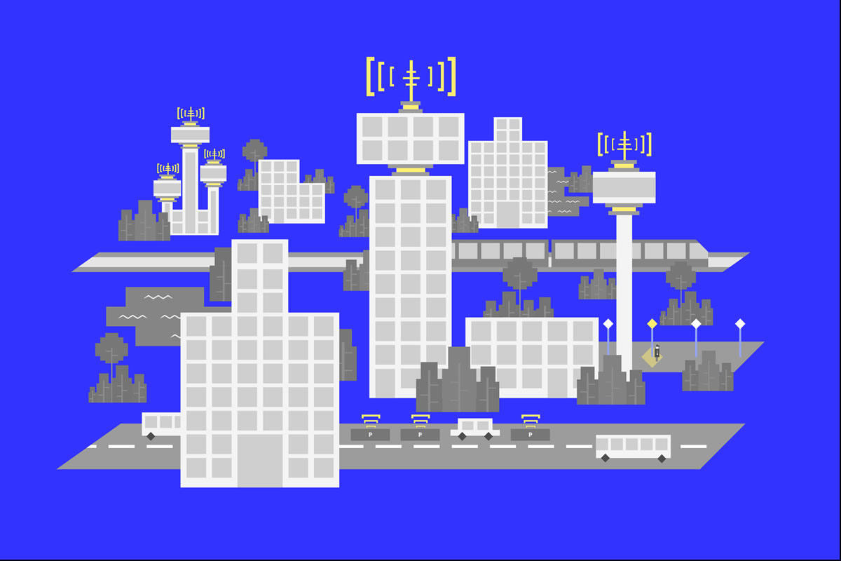
Výzvy hackathonu HackPrague 2019
Vzhledem k tomu, že organizátoři se zaměřili také na zahraniční kodéry, jsou veškerá zadání v angličtině.
Challenge 1: Near real-time identification of abnormalities in large datasets
Motivation
To provide generic alerting system when abnormalities occur in streaming dataset – sample use cases are: Flooding prevention form cameras/radar; Routing of the traffic based on GPS density data; Proactive alerting in case of abnormalities in water or district heating monitoring.
Possible questions
- How to visualize large amount of data (metering points) in web environment in geospatial visualization with time dimension (tens/hundred of thousands of distinct KPIs)
- How to aggregate metering points data in geographical regions near real-time
- What is (and does it exist) silver bullet ML algorithm for anomaly detection applied to timeseries data
- How to provide near real time ML based decision algorithms based on (big) data streaming
Suggested data use
- Sample dataset of KPIs related to water, district heating and flooding measurements will be provided, format columnar CSV
- GEO json with polygon definitions will be provided
- Cardinality: 1.000.000 individual meters
Objectives
- Demonstrate a solution to the problems above on provided dataset
- Demonstrate a solution with simulated data stream
- Simulate streaming data of the same structure as provided dataset
- Broker and streaming platform is free of choice (Kafka, IoT/Event Hub, any MQTT broker…)
- Base the solution on Hadoop/Spark, DataBricks (or similar, but these are preferred)
- Visualize the results
- Geo spatial interactive map
- Anomaly detection KPIs or indicators
- Visualization of simulated data near real-time
Notes
- Near real-time means latency less than 15 seconds.
Mentors
- Ondřej Spilka [ABB]
Challenge 2: BIG DATA
Motivation
Collection, evaluation and processing of data describing the movement and behaviour of the population, data showing certain trends, then a combination of such data from different sources. The main factors here are mainly the causes behind these trends (the location of the beginning and the end of the journey, infrastructure, amenities and other). It is all about the combination of Mobile Network Operator data (MNO-data), traffic flow data (traffic surveys), social and demographic data, map applications data and more. The goal is the socalled „Activity based model“. The aim is approaching Smart City through the citizen (or rather clusters of citizens — buildings).
Possible questions
- Traffic models (combination of multiple sources of data and the allocation to the traffic network)
- Classification and assignment of the beginnings and the ends of journeys (combination of BIG DATA and map details)
- Efficient combination of the sources mentioned above – BIG DATA
- The trends of population behaviour and their influence on the optimization of resource utilization
- Technological capabilities of buildings and alterations in behaviour of citizens aiming to improve optimization of resource utilization
Suggested data use
- tba
Mentors
- prof. Miroslav Svítek [CSCC]
- Tomáš Janča [SmartPlan]
- Roman Dostál [SmartPlan]
- Jan Romportl [O2]
- Ivo Brýdl [O2]
Challenge 3: Personalised map showing the quality of life in Czech cities
Motivation
One of the main issues that homebuyers are facing is the lack of ease with identifying areas with the highest quality of life. This usually involves a lengthy process of individual research that ends up being biased, as there is no central resource for reliable real estate data and the information asymmetry in the market is fairly high. The purpose of this challenge is to develop a personalised and user-friendly map visualising the quality of life in Prague, Brno or other big cities in the Czech Republic. Use publicly available data and/or the data provided, develop creative ways to analyse non-transparent factors, and consider user-specified data to offer a personalised approach based on individual needs and beliefs.
Possible questions
- Which factors influence the quality of life in cities the most?
- How can these factors be analysed with the limited available data?
- How to visualise the results in a user-friendly way?
- How to make the map personalised to individual needs and beliefs?
Suggested data use
- golemio.cz
- data.brno.cz
- opendata.praha.eu
- opendata.iprpraha.cz
- czso.cz
- geoportal.cuzk.cz
- mapy.cz, openstreetmaps.cz, overpass-turbo.eu
- sreality.cz, realitymix.centrum.cz, bezrealitky.cz..
Mentors
- Tomáš Linhart [Backend Developer at Flat Zone]
- Jiří Eckstein [Data Analyst at Flat Zone]
Challenge 4: Creating a database of municipal facilities
Motivation
Currently, there is no integrated storage of information about the public facilities of Czech municipalities. There are, however, individual pieces of information available on the internet. The aim of this challenge is to create a tool for collecting and accessing information about the public facilities of Czech municipalities. In particular, the term ‘public facilities’ encompasses educational, healthcare, cultural, shopping, restaurant, delivery, etc. services. Based on this information, the ministry can improve the planning of public service development.
Possible questions
What is the coverage of municipal facilities, including GPs, gynecologists, dentists, and pediatricians? What is the coverage of municipal facilities, including general stores by retail floor space? In which municipalities is it possible to collect parcels at pick up points of delivery services?
Suggested data use
- Website scraping
- Mapy.cz, googlemaps, etc
Mentors
- Ministry of the interior of the Czech Republic
- Apify
Challenge 5: Involving the public in community development
Motivation
- To develop cities in accordance with peoples‘ needs and desires, effective tools of communication with the public need to be sought to enable town halls to gain insight into the needs and opinions of the community. This may be the following:
- The public’s need for change in the community, or vice versa, places that people hold in high regard and wish to be preserved;
- The public’s view on intended development projects and their planned implementations. Traditional participatory methods such as public hearings appeal to a very narrow segment of the population, especially in larger cities, thus, a ‚smart‘ use of new IT tools may significantly expand the group of public being involved.
Possible questions
- How to engage a wider public using GIS (Geographic information system) applications and emotional maps to make decisions on the development of the municipality, city, neighbourhood and specific public areas
- Development of public spaces and parks
- Deciding on the location of public investments in forms of swimming pools, sports halls, summer cinemas, community centers etc.
- Planning measures to increase safety in the villages, cities, district eg. Placements of new security cameras and street lights
Suggested data use
Existing webs like zmente.to can be interconnected or used to extend security and pedestrian traffic or other types of problems (cleanliness and maintenance of public greenery, waste, and container placement, etc.)
Mentors
- Zuzana Drhová [Ministry of regional development CZ]
Open challenge
Motivation
We don’t want to restrict your creativity, you can always work on your own project. But if you need some other inspiration besides already defined challenges, then there are more possible areas to hack 🙂
Possible questions
- Solve the emergency situations in cities. Public transport and car traffic. (Proposed by Ministry of Transport of the Czech Republic)
- Parking prediction models (Operator ICT)
- How to optimize expansion of public transport network
- Efficiency of public agendas at town halls etc.
- Efficiency of government processes regarding changes to the cities
- Show and prove (based on data), what is assumed to be a problem in cities, but is actually not a problem.
- Analyze the differences between spatial development strategy and the real state of the city
- City comparator for different datasets
- Street furniture and billboards, how to creatively use them. Add IoT sensors, air fresheners, etc… (Proposed by Flowee)
- Last mile transportation (charging stations near public transport stations) (Proposed by Flowee)
- Sustainability in cities and how to save water, waste, parks, brownfields (Proposed by Flowee)
- City data integrator for multiple cities, like public transport, free park places etc.. (Proposed by Ministry of Regional Development)
- Improvement and planning of public transport information system (Proposed by Ministry of Regional Development)
- Energetics — how to efficiently save energy in public buildings, energy efficiency/performance (Proposed by Ministry of Regional Development)
- Participation on public decisions regarding city planning, infrastructure and getting feedback on what should be changed (Proposed by Ministry of Regional Development)
- Maps of subjective feelings at different places in the city. What people like and dislike and make some kind of a „heatmap“ which parts are making people feel positive and which not (Proposed by Ministry of Regional Development)
Suggested data use
- Feel free to use any available dataset